The surface exists.
Worn here.
Mars. The Lunar surface. The ice worlds — measured from orbit.
Topographic contours of the Lunar surface, Mars, and the ice worlds. Every line drawn from NASA mission data, public, open and government-hosted — the same altimetry used by planetary scientists. No AI.
The Grand Canyon
of the solar system.
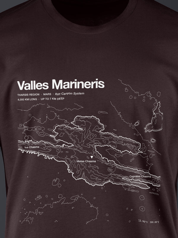
MOLA laser altimetry at 463 meters per pixel. Every Martian contour is measured from orbit — no surface has ever been touched to make this data.
 TEE
TEEValles Marineris
4,000 KM LONG · VALLES MARINERIS
4,000 km long — a fifth of the way around Mars.
 TEE
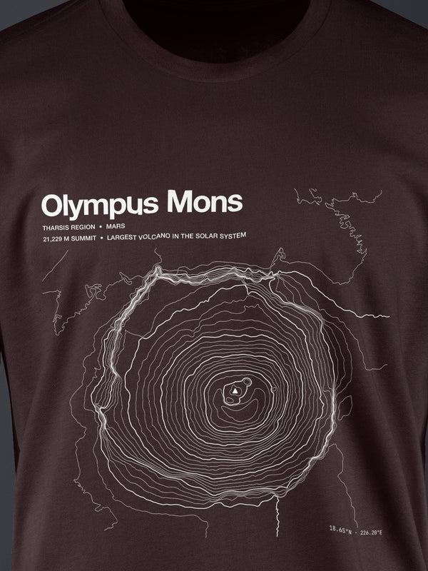
TEEOlympus Mons
↑ 21,229 M
Wider than Arizona. Largest volcano in the solar system.
Olympus Mons is so wide you'd walk it without knowing.
Its slope averages 5°. From the base you can't see the summit, and from the summit you can't see the base.
Every crater.
Every ridge. Every mission.
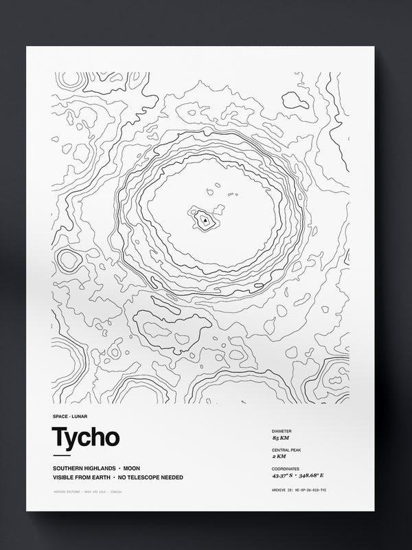
LRO LOLA at 118 meters per pixel. The most detailed topography of any world beyond Earth.
 PRINT
PRINTTycho Crater
≈ 85 KM Ø
108 million years old, with rays 1,500 km long.
 TEE
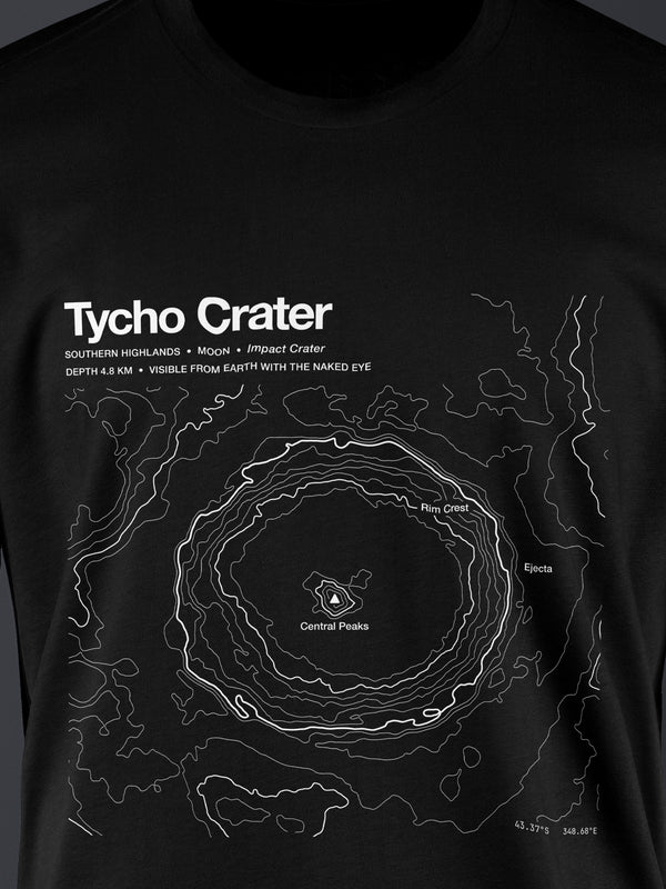
TEETycho Crater
≈ 85 KM Ø
108 million years old, with rays 1,500 km long.
Tycho's rays reach a quarter of the way around the Lunar surface.
The impact that made it scattered bright ejecta so far that the streaks are visible to the naked eye from Earth.
The outer solar system,
mapped and wearable.
Europa, Enceladus, Titan, Pluto — worlds of ice crust and subsurface ocean. Mission data from Galileo, Cassini, New Horizons.
Europa has more water than Earth.
Under its ice shell lies an ocean estimated at twice the volume of all Earth's oceans combined. We're mapping the surface that covers it.
Where we've been.
Landing sites traced at highest resolution available — Apollo descents, Curiosity and Perseverance rover trails, Chang'e touchdowns.
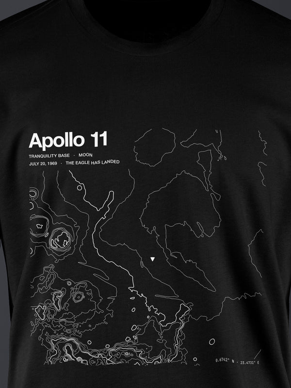
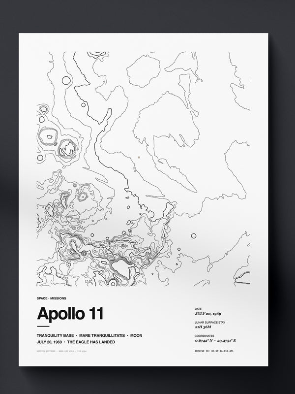
The shape of other worlds,
mapped from orbit.
Planetary cartography is the science of mapping the surface of other worlds from orbital mission data. Where Earth topography uses ground surveys, planetary data comes from radar altimeters and laser rangefinders aboard spacecraft.
The result is terrain data of extraordinary precision. The Space archive starts with NASA MOLA for Mars and LRO LOLA for the Lunar surface — the same datasets used by mission planners and planetary scientists.
Other
collections.
Every world carries the same standard: real data, human-edited, made to order.
Earth.
Above the line.
Summits, volcanoes, glaciers and trails. Built from USGS 3DEP elevation data.
Enter Earth → II · DEEPDeep.
Beneath the surface.
Lakes, coasts, reefs and trenches. Built from USGS for lakes, NOAA for US coastal, GEBCO for open ocean.
Enter Deep → ◈ Complete EditionsComplete Editions.
Tee + Print.
One archive entry, two forms. The archival print for the wall, and its wearable counterpart.
Browse sets →