Above
the line.
Mountains, trails, glaciers — measured from sea level up.
Every line in the Earth archive is extracted from USGS 3DEP at a fixed contour interval. No stylized data. No generated terrain. If a peak moves, so does the record.
For the ones the
summit didn't let go.
The peaks where the ascent stays with you. Iconic plan-views, verified against USGS 3DEP.
 TEE
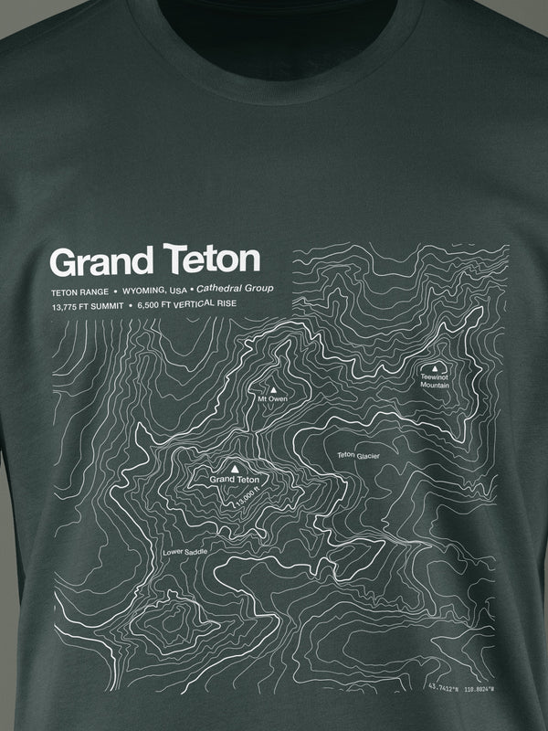
TEEGrand Teton
↑ 13,775 FT · OWEN-SPALDING
First documented ascent 1898. The 1872 claim is still debated.
 PRINT
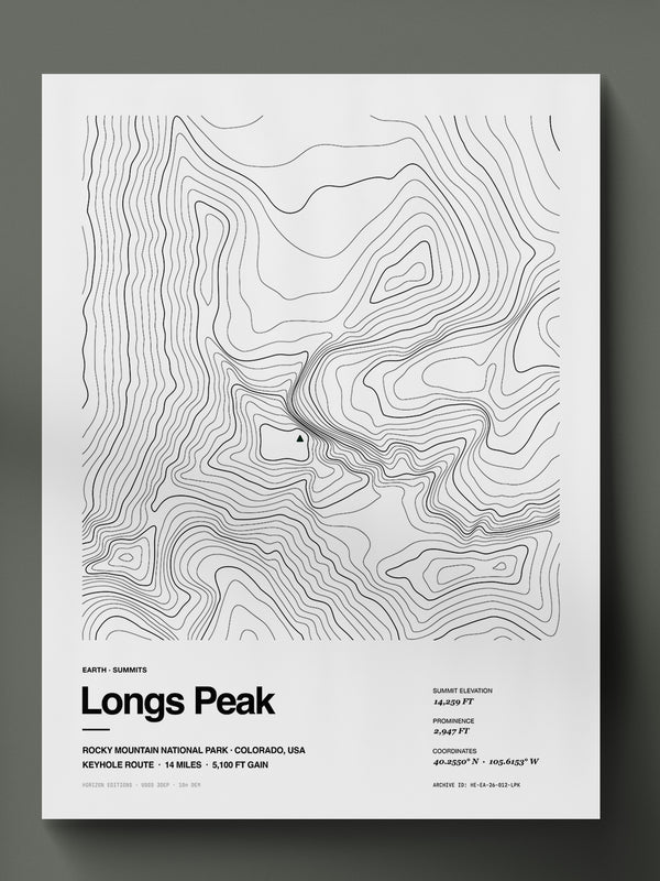
PRINTLongs Peak
↑ 14,259 FT · ONE ROUTE IN
The only fourteener in Rocky Mountain National Park.
 PRINT
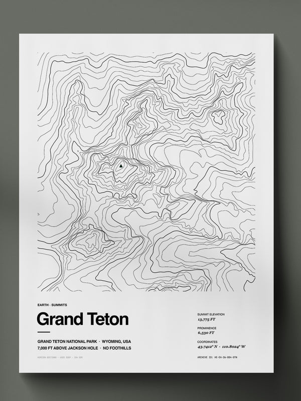
PRINTGrand Teton
↑ 13,775 FT · OWEN-SPALDING
First documented ascent 1898. The 1872 claim is still debated.
 PRINT
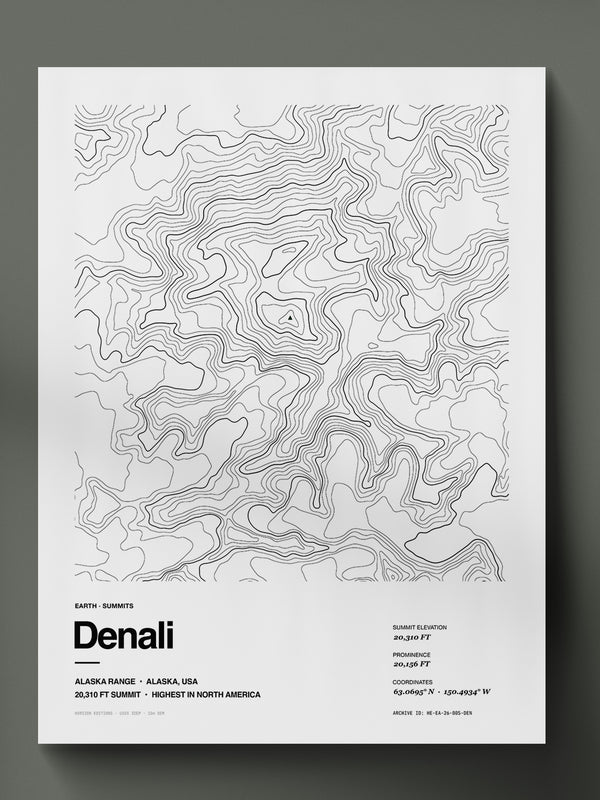
PRINTDenali
↑ 18,000 FT BASE-TO-PEAK
The weather window is 14 days. Half of all teams turn back.
Some places
reframe everything.
Calderas, cones, and the contour lines that remember when the mountain moved.
 TEE
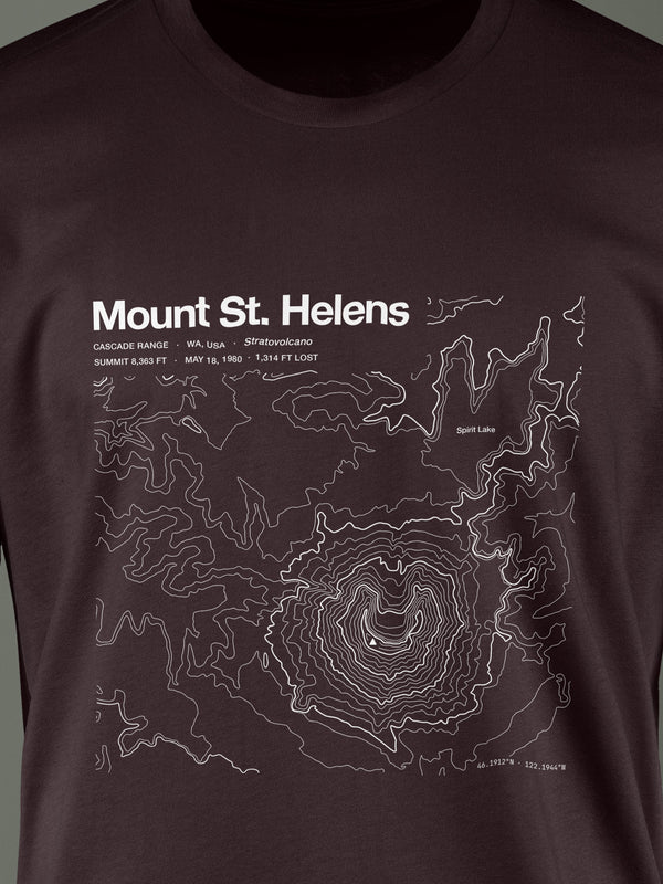
TEEMount St. Helens
MAY 18, 1980 · 1,314 FT LOST
A lateral blast took the summit and north flank in minutes.
 TEE
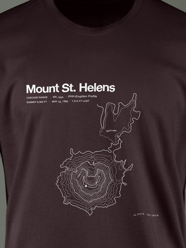
TEEMount St. Helens
MAY 18, 1980 · 1,314 FT LOST
A lateral blast took the summit and north flank in minutes.
 PRINT
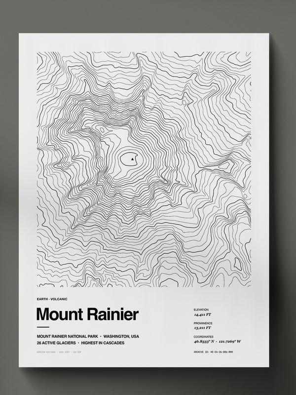
PRINTMount Rainier
26 ACTIVE GLACIERS
The most glaciated peak in the lower 48, and still active.
 TEE
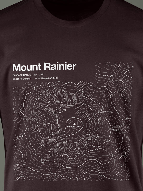
TEEMount Rainier
26 ACTIVE GLACIERS
The most glaciated peak in the lower 48, and still active.
Terrain that moves,
at the speed you don't see.
Ice fields and glaciated peaks, traced while they still exist at this extent.
The Cascades hold more ice than the rest of the lower 48.
Mount Rainier alone carries 26 named glaciers, mapped and remapped as they retreat.
You know every meter.
Now wear it.
Iconic lines — the routes that carved a community around them.
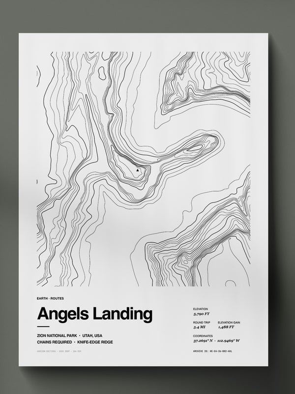 PRINT
PRINTAngels Landing
↑ 5,790 FT · HALF MILE CHAINS
Permit required since 2022. The chain section narrows to 4 feet.
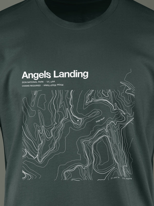 TEE
TEEAngels Landing
↑ 5,790 FT · HALF MILE CHAINS
Permit required since 2022. The chain section narrows to 4 feet.
Every route is verified against public USGS data.
We plot the line, then clean it by hand. No invented switchbacks. No simplified contours.
The shape of the Earth,
recorded in lines.
Topography is the science of measuring and representing terrain in 3D on a flat surface. Contour lines connect points of the same elevation — each line a record of where the land rises or falls.
When the lines are close, the terrain is steep. When they spread apart, it gentles. Every design in the Earth archive starts with USGS 3DEP — the same data source used by geologists and cartographers.
Other
collections.
Every world carries the same standard: real data, human-edited, made to order.
Deep.
Beneath the surface.
Lakes, coasts, reefs and trenches. Built from USGS for lakes, NOAA for US coastal, GEBCO for open ocean.
Enter Deep → III · SPACESpace.
Beyond this one.
Mars, the Lunar surface and icy worlds. Built from NASA MOLA and LRO laser altimetry.
Enter Space → ◈ Complete EditionsComplete Editions.
Tee + Print.
One archive entry, two forms. The archival print for the wall, and its wearable counterpart.
Browse Complete Editions →