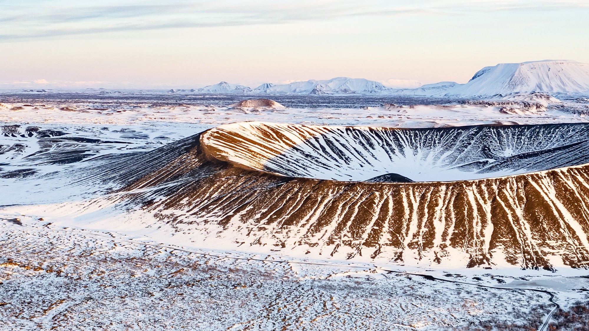
Real terrain.Worn andframed.
Real elevation, bathymetry and planetary data, edited by hand and made as tees, prints and numbered editions.
One archive entry, three forms.
Every terrain in the archive exists as a tee, an archival print, or both together — same Archive ID, same dataset.

Wear the place.
100% cotton. Oeko-Tex inks. Printed from verified contour data. Nothing synthetic.

Frame the place.
18×24 in archival matte, 250 gsm, acid-free, FSC-certified. Same dataset as the tee.

Own both.
The tee and the matching print, in one archival object. Same terrain, same Archive ID, save $11.
Three worlds. One living archive.
Earth above the line. Deep below it. Space beyond. Every entry belongs to one of three living series, built from real data.

Earth.
Above the line.
Summits, volcanoes, glaciers and trails. Built from USGS 3DEP elevation data.

Deep.
Beneath the surface.
Lakes, coasts, reefs and trenches. Built from USGS for lakes, NOAA for US coastal, GEBCO for open ocean.

Space.
Beyond this one.
Mars, the Moon and icy worlds. Built from NASA MOLA and LRO laser altimetry.
Recent entries. Real places.
Each entry carries its own Archive ID — tied to the dataset and interval used to build it.
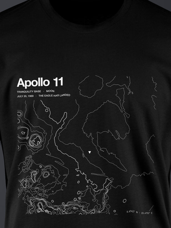
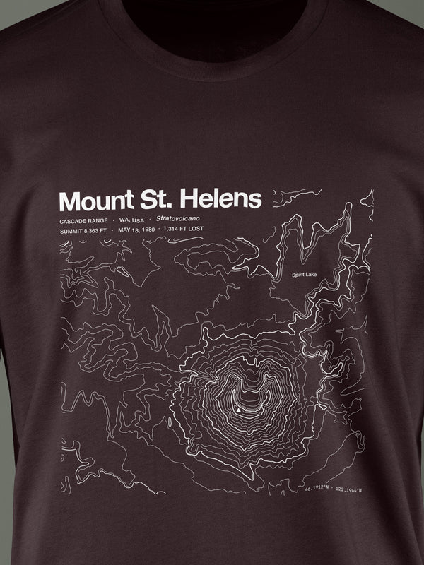
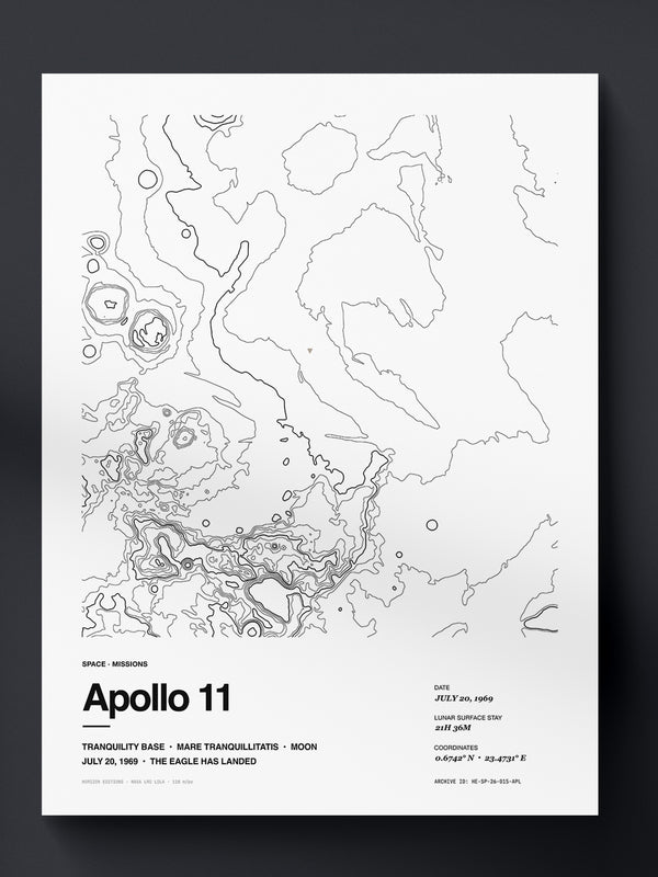
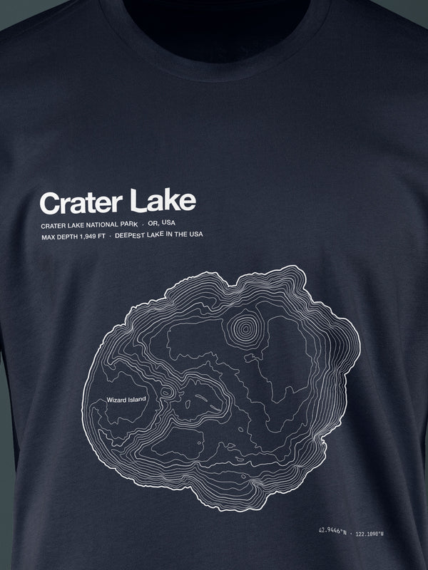
The same datasets a geologist would use.
Public, open, government-hosted terrain data. Every contour line, every depth ring, every crater rim comes from measured terrain — not from a generative model.
Show 3 data sources
USGS 3DEP
10-meter resolution elevation data for the United States. Verifiable against the National Map.
U.S. Geological SurveyNOAA Bathymetry
National Centers for Environmental Information. Multibeam echo sounder grids and lake survey databases.
NOAA NCEINASA MOLA · LRO
Mars Orbiter Laser Altimeter and Lunar Reconnaissance Orbiter laser altimetry. Apollo-era datasets for landing sites.
NASA Planetary DataFrom a public dataset, to a garment you own.
No step is skipped. No line is invented. Every contour comes from a measurement.
Read the method →See the 3 steps
Selection
▴ ManualA place is nominated for the archive by a team member or a reader. Iconicity of the plan-view shape, personal resonance, and dataset availability decide whether it advances.
Extraction & edit
▴ QGIS & IllustratorWe open the published raster in QGIS, choose a contour interval, and export the vector lines. An illustrator then cleans edge artifacts, labels the peak or deepest point, and places the coordinates.
Archive ID
▴ ArchivedThe entry is assigned a permanent ID — HE-YYYY-XX-NNN. Dataset version, resolution, and interval are recorded. Nothing ships without provenance.
Give them a place, not a logo.
Real terrain, edited by hand and made as tees, prints and numbered editions. With gift note, gift wrap and ship-to-recipient.
Find a gift →Help build the archive.
Nominate a summit, route, lake, break, crater or landing site. We read every submission. The archive grows from people who know specific places.
Nominate a place →
New entries. First access. Nothing unnecessary.
Two emails a month. New places, new data, first access the day an issue drops.
You can unsubscribe at any time.